Transform Your Spatial Data Into Actionable Insights
Harness the power of location intelligence to make better decisions and drive business growth.
Visualize & CRUD Geospatial Data
Create, read, update, and delete your spatial data with our intuitive interface.
Rich of Dataset
Access comprehensive spatial datasets from various sources worldwide.
Powered up with Mobile Data Collection
Collect and sync field data seamlessly with our mobile solutions.
Powerful Geospatial Analysis Tools at Your Fingertips
Transform complex spatial data into clear, actionable insights with our comprehensive suite of analysis tools.
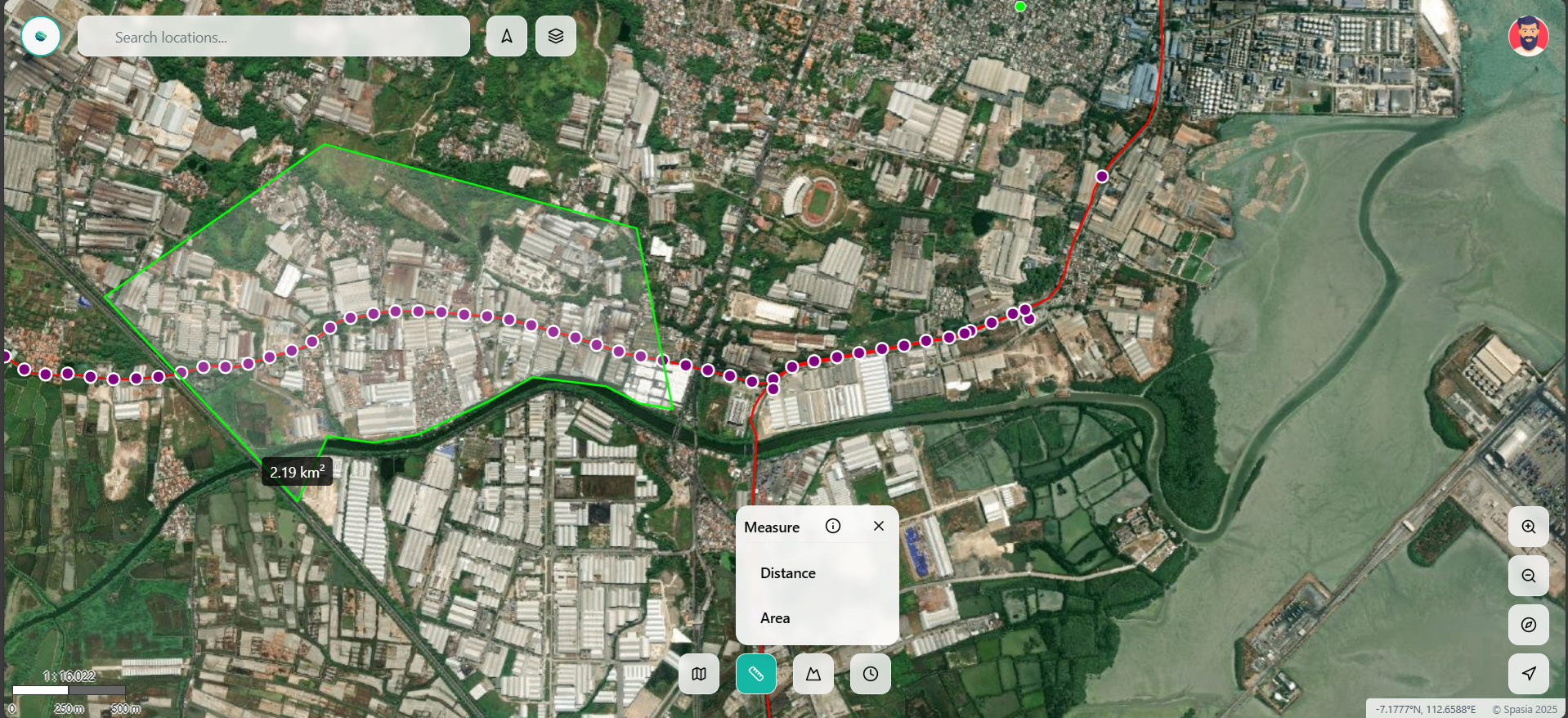
Precise Measurements
Calculate distances, areas, and volumes with high accuracy across any terrain.
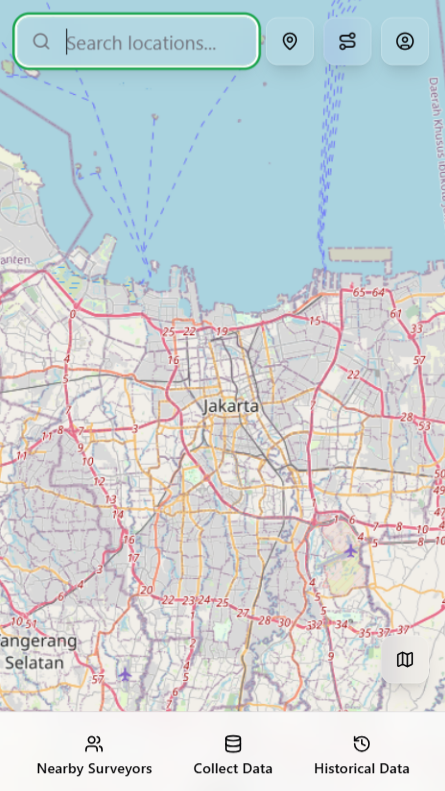
Interactive Mapping
Visualize and analyze spatial patterns with our intuitive mapping interface.
Advanced Analytics
Generate detailed reports and insights from your spatial data analysis.
Mobile Data Collection
Empower your field surveyors with our intuitive mobile app. Collect and manage POI data, create detailed field reports, and collaborate in real-time.
Intelligent POI Mapping
Track and manage points of interest including retail locations, schools, cafes, and critical alerts with our advanced mapping system.
Real-time Field Reports
Create comprehensive field reports on-the-go. Add photos, notes, and measurements directly from your mobile device.
Rich POI Information
Access detailed information about each point of interest, including location data, descriptions, and custom attributes.
Industry-Leading Solutions
Empowering organizations across sectors with powerful spatial analytics and location intelligence
Oil & Gas
Optimize operations, manage assets, and monitor pipeline networks with precision.
Telecom
Plan networks, optimize coverage, and maintain infrastructure efficiently.
Agriculture
Monitor crop health, optimize irrigation, and improve farm management.
Construction
Track project progress, manage resources, and ensure site safety.
Urban Planning
Design smarter cities, analyze demographics, and improve public services.
Railways
Monitor track conditions, optimize routes, and manage railway assets.
Logistics
Optimize delivery routes, track fleet, and improve supply chain efficiency.
Real Estate
Analyze property values, market trends, and location-based insights.
Trusted by Industry Leaders